Datchworth Green: The Whipping Post
Introduction
The photograph on this page of Datchworth Green: The Whipping Post by Nigel Cox as part of the Geograph project.
The Geograph project started in 2005 with the aim of publishing, organising and preserving representative images for every square kilometre of Great Britain, Ireland and the Isle of Man.

There are currently over 7.5m images from over 14,400 individuals and you can help contribute to the project by visiting https://www.geograph.org.uk
Datchworth Green: The Whipping Post
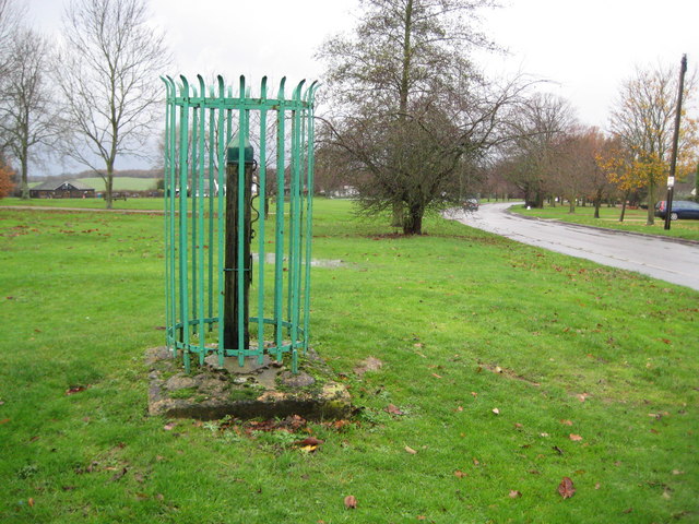
Image: © Nigel Cox Taken: 29 Nov 2009
The small plaque on the post states that it was last known to have been used on 27 July 1665 when two vagabonds were publicly flogged here. (Please note that the true co-ordinates of the post are TL 2687 1825, but that plots in the middle of the road, so I have amended them slightly to fit the mapping better.)
Images are licensed for reuse under creativecommons.org/licenses/by-sa/2.0
Image Location
Latitude
51.848178
Longitude
-0.160134