The new A46
Introduction
The photograph on this page of The new A46 by Alan Murray-Rust as part of the Geograph project.
The Geograph project started in 2005 with the aim of publishing, organising and preserving representative images for every square kilometre of Great Britain, Ireland and the Isle of Man.

There are currently over 7.5m images from over 14,400 individuals and you can help contribute to the project by visiting https://www.geograph.org.uk
The new A46
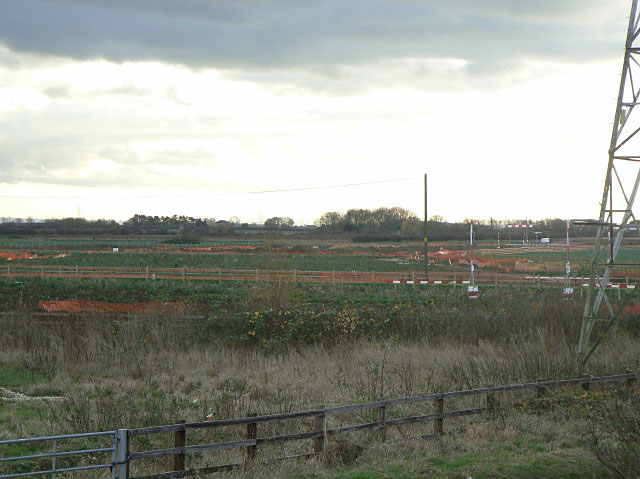
Image: © Alan Murray-Rust Taken: 27 Nov 2009
The alignment of the new A46 on the approach to Farndon roundabout. Between Syerston and Farndon, the redeveloped road will run to the east of the traditional Fosse Way alignment.
Images are licensed for reuse under creativecommons.org/licenses/by-sa/2.0
Image Location
Latitude
53.062966
Longitude
-0.835864