West End, Farndon
Introduction
The photograph on this page of West End, Farndon by Alan Murray-Rust as part of the Geograph project.
The Geograph project started in 2005 with the aim of publishing, organising and preserving representative images for every square kilometre of Great Britain, Ireland and the Isle of Man.

There are currently over 7.5m images from over 14,400 individuals and you can help contribute to the project by visiting https://www.geograph.org.uk
West End, Farndon
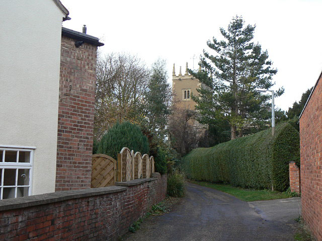
Image: © Alan Murray-Rust Taken: 27 Nov 2009
One of the intricate network of lanes in the old part of the village. At the end is the tower of St Peter's Church.
Images are licensed for reuse under creativecommons.org/licenses/by-sa/2.0
Image Location
Latitude
53.057497
Longitude
-0.855856