Footbridge over Western Approach - Plymouth
Introduction
The photograph on this page of Footbridge over Western Approach - Plymouth by Mick Lobb as part of the Geograph project.
The Geograph project started in 2005 with the aim of publishing, organising and preserving representative images for every square kilometre of Great Britain, Ireland and the Isle of Man.

There are currently over 7.5m images from over 14,400 individuals and you can help contribute to the project by visiting https://www.geograph.org.uk
Footbridge over Western Approach - Plymouth
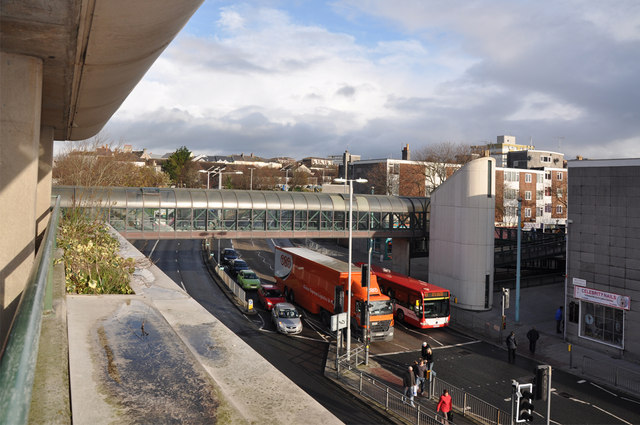
Image: © Mick Lobb Taken: 27 Nov 2009
The bridge affords access from one of the city's car parks to the centre. On this side of the city stands a small precinct Frankfort Gate, the location of one of the city gates which stood until 1783 as the western exit from the old town to Plymouth Dock.
Images are licensed for reuse under creativecommons.org/licenses/by-sa/2.0
Image Location
Latitude
50.371874
Longitude
-4.148509