Sacred Heart Church, Wimbledon
Introduction
The photograph on this page of Sacred Heart Church, Wimbledon by Matt Baines as part of the Geograph project.
The Geograph project started in 2005 with the aim of publishing, organising and preserving representative images for every square kilometre of Great Britain, Ireland and the Isle of Man.

There are currently over 7.5m images from over 14,400 individuals and you can help contribute to the project by visiting https://www.geograph.org.uk
Sacred Heart Church, Wimbledon
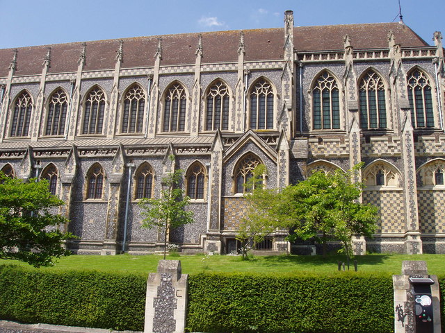
Image: © Matt Baines Taken: 3 Jun 2007
Viewed from Darlaston Road. The Church is at a higher elevation to the road owing to the position on Edge Hill.
Images are licensed for reuse under creativecommons.org/licenses/by-sa/2.0
Image Location
Latitude
51.417638
Longitude
-0.219181