Lower end of Water Street, Lavenham
Introduction
The photograph on this page of Lower end of Water Street, Lavenham by Andrew Hill as part of the Geograph project.
The Geograph project started in 2005 with the aim of publishing, organising and preserving representative images for every square kilometre of Great Britain, Ireland and the Isle of Man.

There are currently over 7.5m images from over 14,400 individuals and you can help contribute to the project by visiting https://www.geograph.org.uk
Lower end of Water Street, Lavenham
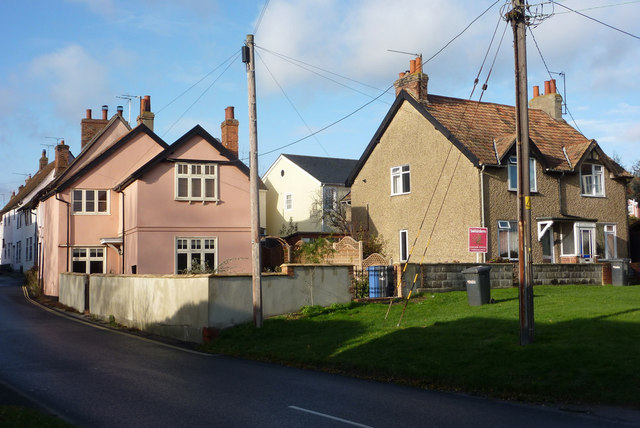
Image: © Andrew Hill Taken: 28 Nov 2009
These are the first houses after the road from Brent Eleigh turns towards the centre of Lavenham. There are many historic buildings further up the street off the left of the picture.
Images are licensed for reuse under creativecommons.org/licenses/by-sa/2.0
Image Location
Latitude
52.106947
Longitude
0.800044