Suburban Growth, Bisley
Introduction
The photograph on this page of Suburban Growth, Bisley by Colin Smith as part of the Geograph project.
The Geograph project started in 2005 with the aim of publishing, organising and preserving representative images for every square kilometre of Great Britain, Ireland and the Isle of Man.

There are currently over 7.5m images from over 14,400 individuals and you can help contribute to the project by visiting https://www.geograph.org.uk
Suburban Growth, Bisley
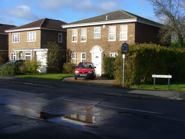
Image: © Colin Smith Taken: 28 Nov 2009
Bisley has almost been engulfed by the westward sprawl from Woking, only a narrow green belt separates the two settlements. Here, Georgian style homes have been built in Bisley.
Images are licensed for reuse under creativecommons.org/licenses/by-sa/2.0
Image Location
Latitude
51.324695
Longitude
-0.63771