St Peter's Shaldon: High altar
Introduction
The photograph on this page of St Peter's Shaldon: High altar by Stephen Craven as part of the Geograph project.
The Geograph project started in 2005 with the aim of publishing, organising and preserving representative images for every square kilometre of Great Britain, Ireland and the Isle of Man.

There are currently over 7.5m images from over 14,400 individuals and you can help contribute to the project by visiting https://www.geograph.org.uk
St Peter's Shaldon: High altar
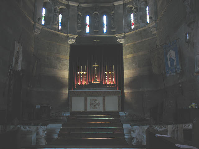
Image: © Stephen Craven Taken: 21 Nov 2009
The church was open but unattended and with minimal lighting on when we visited, resulting in some unavoidable camera shake, hence no general views of the nave. Nevertheless this view with some spotlighting gives the impression of the flight of steps up to the high altar in the apsidal east end.
Images are licensed for reuse under creativecommons.org/licenses/by-sa/2.0
Image Location


Leaflet Map data © OpenStreetMap
Latitude
50.541319
Longitude
-3.50828