New England Road
Introduction
The photograph on this page of New England Road by Simon Carey as part of the Geograph project.
The Geograph project started in 2005 with the aim of publishing, organising and preserving representative images for every square kilometre of Great Britain, Ireland and the Isle of Man.

There are currently over 7.5m images from over 14,400 individuals and you can help contribute to the project by visiting https://www.geograph.org.uk
New England Road
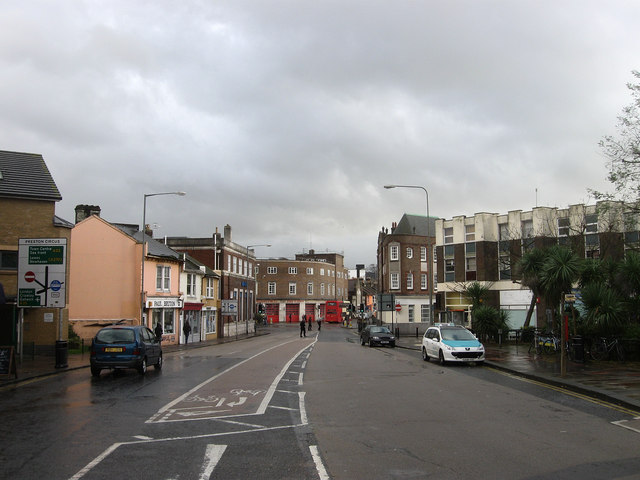
Image: © Simon Carey Taken: 25 Nov 2009
The A270 as it heads towards Preston Circus represented by the fire station's red doors in the distance.
Images are licensed for reuse under creativecommons.org/licenses/by-sa/2.0
Image Location
Latitude
50.833656
Longitude
-0.139817