Aerial view of Westwood School and West Wood
Introduction
The photograph on this page of Aerial view of Westwood School and West Wood by Edward Clack as part of the Geograph project.
The Geograph project started in 2005 with the aim of publishing, organising and preserving representative images for every square kilometre of Great Britain, Ireland and the Isle of Man.

There are currently over 7.5m images from over 14,400 individuals and you can help contribute to the project by visiting https://www.geograph.org.uk
Aerial view of Westwood School and West Wood
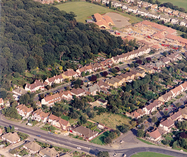
Image: © Edward Clack Taken: 18 Sep 1987
The wood at the top left is the south-west corner of West Wood. Westwood School lies above right of this. The road running below and right of the wood is Beresford Gardens. The road to the lower left is the A129 (Rayleigh Road). The Hadleigh roundabout (Victoria House Corner) Image is just visible at the lower right.
Images are licensed for reuse under creativecommons.org/licenses/by-sa/2.0
Image Location
Latitude
51.558658
Longitude
0.602896