Flood in 2009: neat ! Portbury rhyne ditch expanded
Introduction
The photograph on this page of Flood in 2009: neat ! Portbury rhyne ditch expanded by Michael Dennis Stagg as part of the Geograph project.
The Geograph project started in 2005 with the aim of publishing, organising and preserving representative images for every square kilometre of Great Britain, Ireland and the Isle of Man.

There are currently over 7.5m images from over 14,400 individuals and you can help contribute to the project by visiting https://www.geograph.org.uk
Flood in 2009: neat ! Portbury rhyne ditch expanded
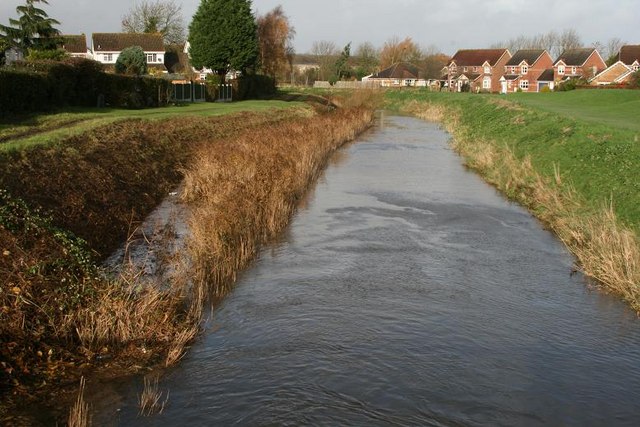
Image: © Michael Dennis Stagg Taken: 23 Nov 2009
The extent of our flooding as controlled by Somerset Rivers and Highways Agency new works, ponds M5, in great contrast to Workington, to 23 November 2009 midnight and accumulated issues of steep montane basin flows, industrial plain reception
Images are licensed for reuse under creativecommons.org/licenses/by-sa/2.0
Image Location
Latitude
51.47834
Longitude
-2.758801