Division on Maypole Lane
Introduction
The photograph on this page of Division on Maypole Lane by David Anstiss as part of the Geograph project.
The Geograph project started in 2005 with the aim of publishing, organising and preserving representative images for every square kilometre of Great Britain, Ireland and the Isle of Man.

There are currently over 7.5m images from over 14,400 individuals and you can help contribute to the project by visiting https://www.geograph.org.uk
Division on Maypole Lane
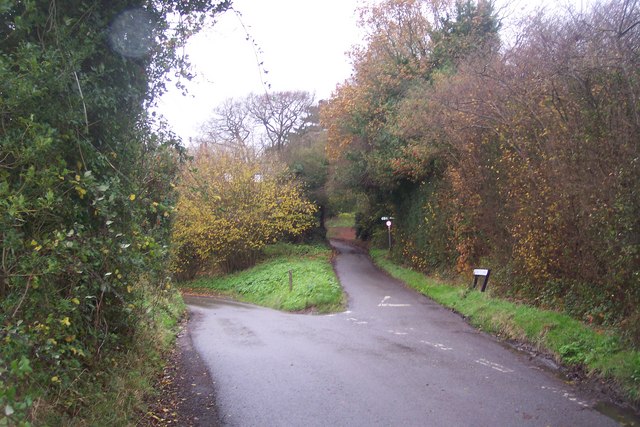
Image: © David Anstiss Taken: 22 Nov 2009
The lane from the A262 Cranbrook Road, heads left towards the B2079 Balcombes Hill heading South towards Bedgebury and Kilndown. It also heads right towards the road heading North towards the town centre. In the background the High Weald Landscape Trail (long distance path) crosses the lane heading left to Maypole Farm from Goudhurst.
Images are licensed for reuse under creativecommons.org/licenses/by-sa/2.0
Image Location
Latitude
51.111323
Longitude
0.461083