
2009 : Minor road through Chantry
Introduction
The photograph on this page of 2009 : Minor road through Chantry by Maurice Pullin as part of the Geograph project.
The Geograph project started in 2005 with the aim of publishing, organising and preserving representative images for every square kilometre of Great Britain, Ireland and the Isle of Man.

There are currently over 7.5m images from over 14,400 individuals and you can help contribute to the project by visiting https://www.geograph.org.uk
2009 : Minor road through Chantry
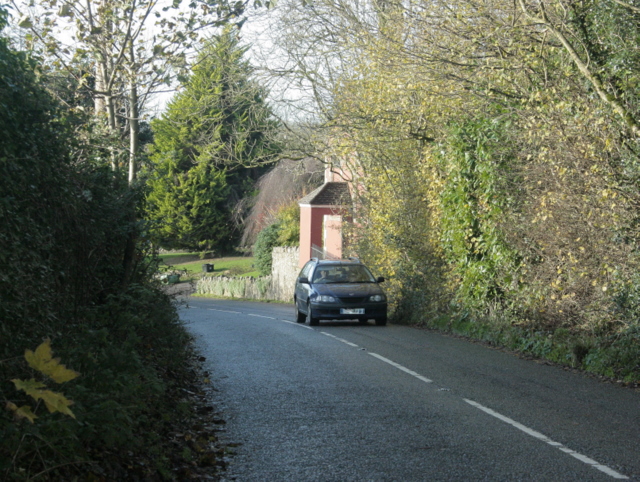
Image: © Maurice Pullin Taken: 15 Nov 2009
Passing Orr Farm. A bit about Chantry: "The ecclesiastical parish of Chantry was formed in 1846 from parts of the parishes of Whatley, Elm and Mells. In those days the parish of Elm was in two separate parts; Great Elm , where the church is, and Little Elm, some two or three miles distance. It is now part of the civil parish of Whatley and some fields to the north are in the civil parish of Mells. Several hamlets went to form Chantry,- Little Elm, Stoney Lane, Dead Woman, Railford, Bulls Green and the houses around the church at Chantry, together with two outlying farms, Bangle and Pool House." The above was copied from: http://www.chantrysomerset.org.uk/
Images are licensed for reuse under creativecommons.org/licenses/by-sa/2.0
Image Location

Latitude
51.22095
Longitude
-2.406178