Halse Water
Introduction
The photograph on this page of Halse Water by Derek Harper as part of the Geograph project.
The Geograph project started in 2005 with the aim of publishing, organising and preserving representative images for every square kilometre of Great Britain, Ireland and the Isle of Man.

There are currently over 7.5m images from over 14,400 individuals and you can help contribute to the project by visiting https://www.geograph.org.uk
Halse Water
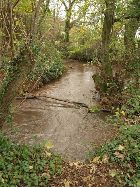
Image: © Derek Harper Taken: 19 Nov 2009
The muddy stream swirls along a narrow band of woodland. The stream is the parish boundary, so the footpath from which this is taken, T18/18, becomes T4/18 after crossing a bridge a few metres to the left.
Images are licensed for reuse under creativecommons.org/licenses/by-sa/2.0
Image Location
Latitude
51.037081
Longitude
-3.192139