Monarch's Way
Introduction
The photograph on this page of Monarch's Way by Michael Dibb as part of the Geograph project.
The Geograph project started in 2005 with the aim of publishing, organising and preserving representative images for every square kilometre of Great Britain, Ireland and the Isle of Man.

There are currently over 7.5m images from over 14,400 individuals and you can help contribute to the project by visiting https://www.geograph.org.uk
Monarch's Way
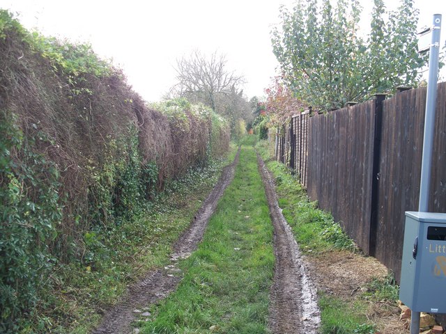
Image: © Michael Dibb Taken: 17 Nov 2009
The Monarch's Way long distance path heads out of Bourton-on-the-Water towards Clapton-on-the-Hill. The Monarch's Way is a 615-mile long-distance footpath that approximates the escape route taken by King Charles II in 1651 after being defeated in the Battle of Worcester. The houses of the right face onto Letch Hill Drive.
Images are licensed for reuse under creativecommons.org/licenses/by-sa/2.0
Image Location
Latitude
51.881288
Longitude
-1.759665