Powderham New Plantation
Introduction
The photograph on this page of Powderham New Plantation by Derek Harper as part of the Geograph project.
The Geograph project started in 2005 with the aim of publishing, organising and preserving representative images for every square kilometre of Great Britain, Ireland and the Isle of Man.

There are currently over 7.5m images from over 14,400 individuals and you can help contribute to the project by visiting https://www.geograph.org.uk
Powderham New Plantation
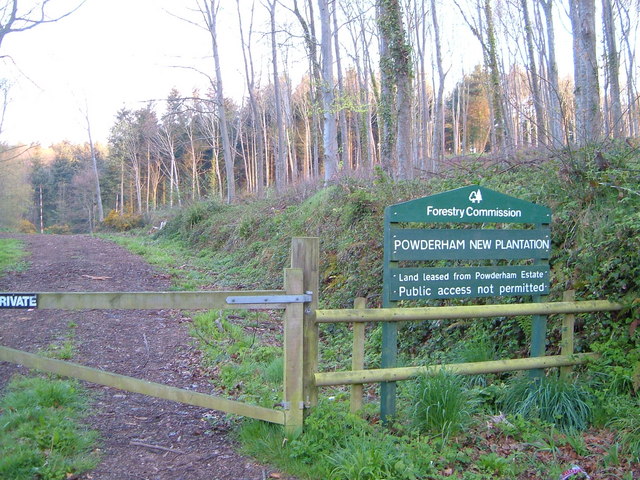
Image: © Derek Harper Taken: 26 Apr 2006
Didn't want to go in anyway. Powderham plantations old and new run along the north-eastern valley side of the River Kenn, along the ridge separating it from the Exe.
Images are licensed for reuse under creativecommons.org/licenses/by-sa/2.0
Image Location
Latitude
50.652523
Longitude
-3.48383