Gospel Oak to Barking Line from Parkland Walk
Introduction
The photograph on this page of Gospel Oak to Barking Line from Parkland Walk by Oxyman as part of the Geograph project.
The Geograph project started in 2005 with the aim of publishing, organising and preserving representative images for every square kilometre of Great Britain, Ireland and the Isle of Man.

There are currently over 7.5m images from over 14,400 individuals and you can help contribute to the project by visiting https://www.geograph.org.uk
Gospel Oak to Barking Line from Parkland Walk
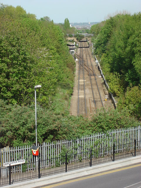
Image: © Oxyman Taken: 22 Apr 2009
Seen from Parkland Walk which was itself formerly a railway line. Lancaster Road is in the foreground
Images are licensed for reuse under creativecommons.org/licenses/by-sa/2.0
Image Location
Latitude
51.574111
Longitude
-0.110178