The Clears and Colley Lane
Introduction
The photograph on this page of The Clears and Colley Lane by Hugh Craddock as part of the Geograph project.
The Geograph project started in 2005 with the aim of publishing, organising and preserving representative images for every square kilometre of Great Britain, Ireland and the Isle of Man.

There are currently over 7.5m images from over 14,400 individuals and you can help contribute to the project by visiting https://www.geograph.org.uk
The Clears and Colley Lane
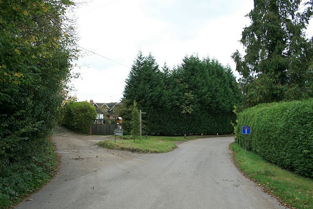
Image: © Hugh Craddock Taken: 19 Oct 2009
Junction of The Clears with Colley Lane, also a public bridleway Reigate 29 to West Street (the A25) at Buckland (opposite Image). Just around the corner, to the right, are the former quarry workers' cottages.
Images are licensed for reuse under creativecommons.org/licenses/by-sa/2.0
Image Location
Latitude
51.248051
Longitude
-0.220152