River Leen, Old Radford
Introduction
The photograph on this page of River Leen, Old Radford by John Sutton as part of the Geograph project.
The Geograph project started in 2005 with the aim of publishing, organising and preserving representative images for every square kilometre of Great Britain, Ireland and the Isle of Man.

There are currently over 7.5m images from over 14,400 individuals and you can help contribute to the project by visiting https://www.geograph.org.uk
River Leen, Old Radford
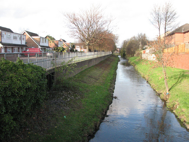
Image: © John Sutton Taken: 20 Nov 2009
The photograph is taken from the corner of Hartley Road and St Peters Street. Maun Avenue is on the left. This housing development was built on the site of Radford Folly, an 18th-century pleasure garden. The Folly itself - an octagonal tower - survived, in ruins, into the 1950s. For a description of the Radford Grove pleasure gardens, see the Nottinghamshire History website http://www.nottshistory.org.uk/whatnall1928/radford_folly.htm .
Images are licensed for reuse under creativecommons.org/licenses/by-sa/2.0
Image Location
Latitude
52.960043
Longitude
-1.18193