Teesdale Way approaching Castle Hill
Introduction
The photograph on this page of Teesdale Way approaching Castle Hill by Chris Heaton as part of the Geograph project.
The Geograph project started in 2005 with the aim of publishing, organising and preserving representative images for every square kilometre of Great Britain, Ireland and the Isle of Man.

There are currently over 7.5m images from over 14,400 individuals and you can help contribute to the project by visiting https://www.geograph.org.uk
Teesdale Way approaching Castle Hill
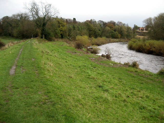
Image: © Chris Heaton Taken: 4 Nov 2009
The trail is following the River Tees to a small section of woodland that conceals Castle Hill, - part of the Darlington suburb of Blackwell.
Images are licensed for reuse under creativecommons.org/licenses/by-sa/2.0
Image Location
Latitude
54.513285
Longitude
-1.580148