West Ashgill
Introduction
The photograph on this page of West Ashgill by Andy Waddington as part of the Geograph project.
The Geograph project started in 2005 with the aim of publishing, organising and preserving representative images for every square kilometre of Great Britain, Ireland and the Isle of Man.

There are currently over 7.5m images from over 14,400 individuals and you can help contribute to the project by visiting https://www.geograph.org.uk
West Ashgill
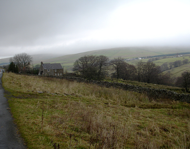
Image: © Andy Waddington Taken: 21 Nov 2009
Taken from the minor road leading to Hole House Farm and the canoeists' put-in for the far Upper South Tyne. Hill fog was thick and extensive on the east side of the Tyne/Tees watershed, but the cloud was a little higher on the Alston side seen here.
Images are licensed for reuse under creativecommons.org/licenses/by-sa/2.0
Image Location


Leaflet Map data © OpenStreetMap
Latitude
54.748236
Longitude
-2.381201