Parkland Walk
Introduction
The photograph on this page of Parkland Walk by Oxyman as part of the Geograph project.
The Geograph project started in 2005 with the aim of publishing, organising and preserving representative images for every square kilometre of Great Britain, Ireland and the Isle of Man.

There are currently over 7.5m images from over 14,400 individuals and you can help contribute to the project by visiting https://www.geograph.org.uk
Parkland Walk
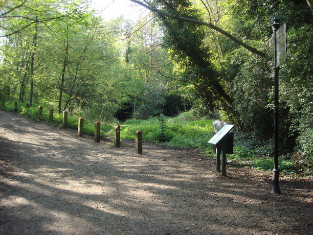
Image: © Oxyman Taken: 22 Apr 2009
Here the path of Parkland Walk leaves the former Great Northern Railway trackbed and turns into Holmesdale Road which is to the left of this image. The entrances to Highgate East Tunnel are behind the natural grouth.
Images are licensed for reuse under creativecommons.org/licenses/by-sa/2.0
Image Location
Latitude
51.576693
Longitude
-0.142399