Ryewater Farm
Introduction
The photograph on this page of Ryewater Farm by Nigel Mykura as part of the Geograph project.
The Geograph project started in 2005 with the aim of publishing, organising and preserving representative images for every square kilometre of Great Britain, Ireland and the Isle of Man.

There are currently over 7.5m images from over 14,400 individuals and you can help contribute to the project by visiting https://www.geograph.org.uk
Ryewater Farm
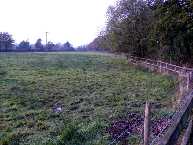
Image: © Nigel Mykura Taken: 8 Nov 2009
This field is part of Ryewater farm in the centre of the grid square near the southern end of Broke Lane.
Images are licensed for reuse under creativecommons.org/licenses/by-sa/2.0
Image Location


Leaflet Map data © OpenStreetMap
Latitude
50.894433
Longitude
-2.479825