Nant y Gwennill
Introduction
The photograph on this page of Nant y Gwennill by Andrew Hill as part of the Geograph project.
The Geograph project started in 2005 with the aim of publishing, organising and preserving representative images for every square kilometre of Great Britain, Ireland and the Isle of Man.

There are currently over 7.5m images from over 14,400 individuals and you can help contribute to the project by visiting https://www.geograph.org.uk
Nant y Gwennill
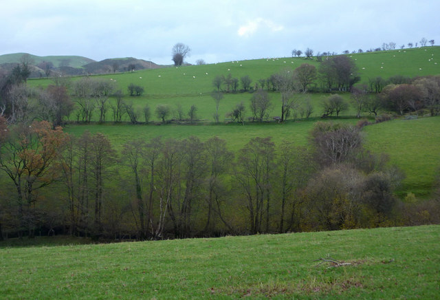
Image: © Andrew Hill Taken: 20 Nov 2009
Green pastures either side of the stream, seen from the mountain lane between Machynlleth and Staylittle.
Images are licensed for reuse under creativecommons.org/licenses/by-sa/2.0
Image Location
Latitude
52.569098
Longitude
-3.757811