Liswerry Road north of the railway
Introduction
The photograph on this page of Liswerry Road north of the railway by Jaggery as part of the Geograph project.
The Geograph project started in 2005 with the aim of publishing, organising and preserving representative images for every square kilometre of Great Britain, Ireland and the Isle of Man.

There are currently over 7.5m images from over 14,400 individuals and you can help contribute to the project by visiting https://www.geograph.org.uk
Liswerry Road north of the railway
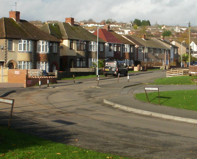
Image: © Jaggery Taken: 20 Nov 2009
Split from its southern section by the South Wales main line, Liswerry Road here continues northwards on the north side of the tracks. The view is of houses on the west side of the road, adjacent to Liswerry Park Drive.
Images are licensed for reuse under creativecommons.org/licenses/by-sa/2.0
Image Location
Latitude
51.583399
Longitude
-2.951064