?ird a' Mhachair
Introduction
The photograph on this page of ?ird a' Mhachair by Richard Webb as part of the Geograph project.
The Geograph project started in 2005 with the aim of publishing, organising and preserving representative images for every square kilometre of Great Britain, Ireland and the Isle of Man.

There are currently over 7.5m images from over 14,400 individuals and you can help contribute to the project by visiting https://www.geograph.org.uk
?ird a' Mhachair
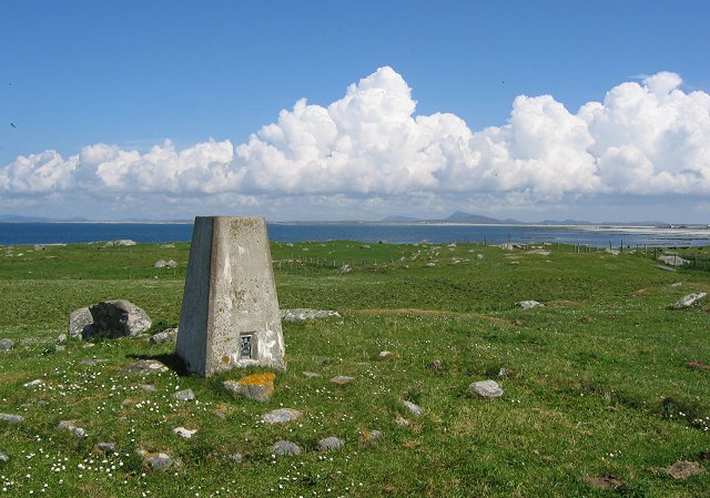
Image: © Richard Webb Taken: 1 Jun 2005
The heights of the machair, a 14m hill overlooking the machair of north west South Uist. View north along Benbecula to North Uist.
Images are licensed for reuse under creativecommons.org/licenses/by-sa/2.0
Image Location


Leaflet Map data © OpenStreetMap
Latitude
57.383068
Longitude
-7.418838