Liswerry edge of Moorland Park, Newport
Introduction
The photograph on this page of Liswerry edge of Moorland Park, Newport by Jaggery as part of the Geograph project.
The Geograph project started in 2005 with the aim of publishing, organising and preserving representative images for every square kilometre of Great Britain, Ireland and the Isle of Man.

There are currently over 7.5m images from over 14,400 individuals and you can help contribute to the project by visiting https://www.geograph.org.uk
Liswerry edge of Moorland Park, Newport
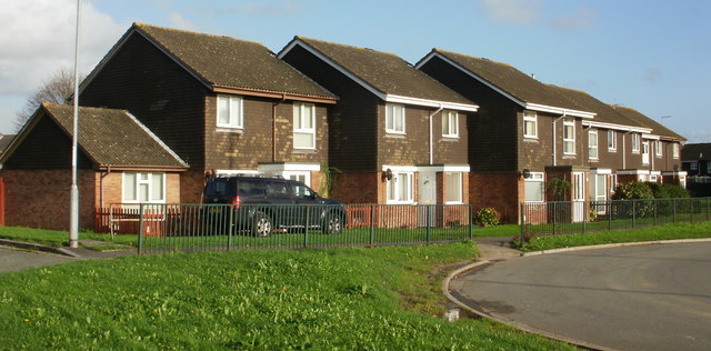
Image: © Jaggery Taken: 20 Nov 2009
The houses are on the western edge of Moorland Park, adjacent to the roundabout at the end of Liswerry Road, and close to Skinners Row. http://www.geograph.org.uk/photo/2548795
Images are licensed for reuse under creativecommons.org/licenses/by-sa/2.0
Image Location
Latitude
51.5825
Longitude
-2.951045