Mariner's Way near Shapley
Introduction
The photograph on this page of Mariner's Way near Shapley by Derek Harper as part of the Geograph project.
The Geograph project started in 2005 with the aim of publishing, organising and preserving representative images for every square kilometre of Great Britain, Ireland and the Isle of Man.

There are currently over 7.5m images from over 14,400 individuals and you can help contribute to the project by visiting https://www.geograph.org.uk
Mariner's Way near Shapley
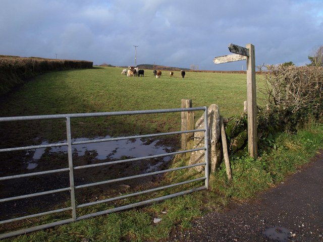
Image: © Derek Harper Taken: 16 Nov 2009
The signpost indicates the route of Chagford Footpath 1, followed by the Way, which here leaves the farm track from the farms at Shapley and crosses the field, shown in Image
Images are licensed for reuse under creativecommons.org/licenses/by-sa/2.0
Image Location
Latitude
50.649118
Longitude
-3.864662