Field near Shapley
Introduction
The photograph on this page of Field near Shapley by Derek Harper as part of the Geograph project.
The Geograph project started in 2005 with the aim of publishing, organising and preserving representative images for every square kilometre of Great Britain, Ireland and the Isle of Man.

There are currently over 7.5m images from over 14,400 individuals and you can help contribute to the project by visiting https://www.geograph.org.uk
Field near Shapley
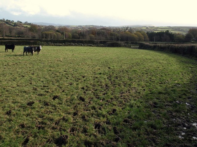
Image: © Derek Harper Taken: 16 Nov 2009
These cattle seem to be calculating whether they can head me off at the stile. The answer would be, yes, they can - but no, they didn't. This is on the Mariner's Way, following Chagford Footpath 1 towards the farm track for Shapley.
Images are licensed for reuse under creativecommons.org/licenses/by-sa/2.0
Image Location
Latitude
50.649282
Longitude
-3.865659