Stroll near Yardworthy
Introduction
The photograph on this page of Stroll near Yardworthy by Derek Harper as part of the Geograph project.
The Geograph project started in 2005 with the aim of publishing, organising and preserving representative images for every square kilometre of Great Britain, Ireland and the Isle of Man.

There are currently over 7.5m images from over 14,400 individuals and you can help contribute to the project by visiting https://www.geograph.org.uk
Stroll near Yardworthy
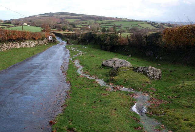
Image: © Derek Harper Taken: 16 Nov 2009
The road from Fernworthy drops down a stroll narrowing to a cattle grid; the road contonues as a narrow lane through farmland towards Chagford. Water from a recent heavy shower or two courses down on the right.
Images are licensed for reuse under creativecommons.org/licenses/by-sa/2.0
Image Location
Latitude
50.648787
Longitude
-3.868468