Canterbury Centenary Walk on Church Hill
Introduction
The photograph on this page of Canterbury Centenary Walk on Church Hill by David Anstiss as part of the Geograph project.
The Geograph project started in 2005 with the aim of publishing, organising and preserving representative images for every square kilometre of Great Britain, Ireland and the Isle of Man.

There are currently over 7.5m images from over 14,400 individuals and you can help contribute to the project by visiting https://www.geograph.org.uk
Canterbury Centenary Walk on Church Hill
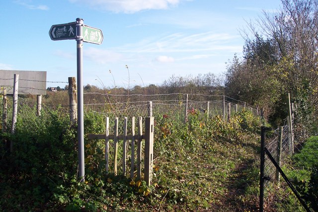
Image: © David Anstiss Taken: 15 Nov 2009
Kent County Council had several walks signposted around various cities in Kent for the celebration of a hundred years of the Council. Maidstone did have one but (due to funding) most of the signs have been removed !!. This section of the path heads towards the North Downs Way (long distance path) See http://www.bertuchi.co.uk/canterbury.php for more of the walk.
Images are licensed for reuse under creativecommons.org/licenses/by-sa/2.0
Image Location
Latitude
51.282361
Longitude
1.046749