View of Harbledown from North Downs Way
Introduction
The photograph on this page of View of Harbledown from North Downs Way by David Anstiss as part of the Geograph project.
The Geograph project started in 2005 with the aim of publishing, organising and preserving representative images for every square kilometre of Great Britain, Ireland and the Isle of Man.

There are currently over 7.5m images from over 14,400 individuals and you can help contribute to the project by visiting https://www.geograph.org.uk
View of Harbledown from North Downs Way
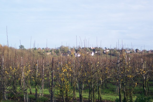
Image: © David Anstiss Taken: 15 Nov 2009
Looking from the bridleway from Faulkners Lane to Golden Hill, over an orchard. The two churches of Harbledown can just be seen.
Images are licensed for reuse under creativecommons.org/licenses/by-sa/2.0
Image Location
Latitude
51.280236
Longitude
1.042019