A view of the South of Bideford
Introduction
The photograph on this page of A view of the South of Bideford by Roger A Smith as part of the Geograph project.
The Geograph project started in 2005 with the aim of publishing, organising and preserving representative images for every square kilometre of Great Britain, Ireland and the Isle of Man.

There are currently over 7.5m images from over 14,400 individuals and you can help contribute to the project by visiting https://www.geograph.org.uk
A view of the South of Bideford
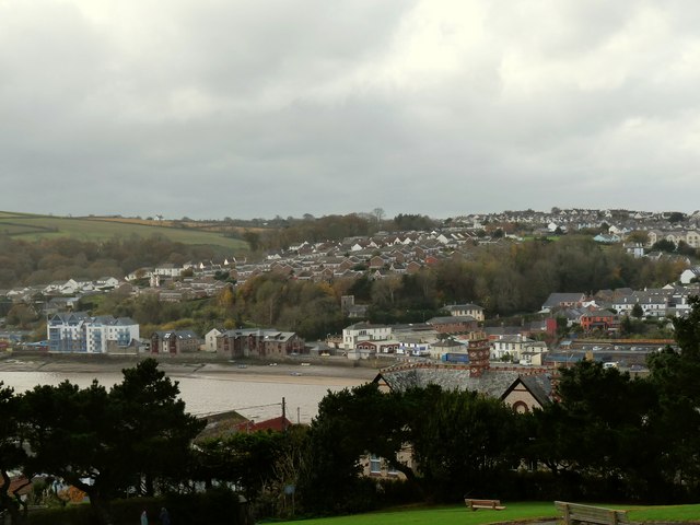
Image: © Roger A Smith Taken: 19 Nov 2009
Houses on Devonshire Park rise from mid left to centre image. To the right of centre are houses on Clovelly road and surrounding estates.
Images are licensed for reuse under creativecommons.org/licenses/by-sa/2.0
Image Location
Latitude
51.01327
Longitude
-4.209705