Lane at Adsborough
Introduction
The photograph on this page of Lane at Adsborough by Derek Harper as part of the Geograph project.
The Geograph project started in 2005 with the aim of publishing, organising and preserving representative images for every square kilometre of Great Britain, Ireland and the Isle of Man.

There are currently over 7.5m images from over 14,400 individuals and you can help contribute to the project by visiting https://www.geograph.org.uk
Lane at Adsborough
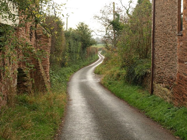
Image: © Derek Harper Taken: 11 Nov 2009
The lane to West Newton heads eastwards from the main village street. On the left is part of the outer wall of the listed Rock House http://webapp1.somerset.gov.uk/her/details.asp?prn=40504 .
Images are licensed for reuse under creativecommons.org/licenses/by-sa/2.0
Image Location
Latitude
51.056684
Longitude
-3.031549