Witton-le Wear level crossing
Introduction
The photograph on this page of Witton-le Wear level crossing by Alan Murray-Rust as part of the Geograph project.
The Geograph project started in 2005 with the aim of publishing, organising and preserving representative images for every square kilometre of Great Britain, Ireland and the Isle of Man.

There are currently over 7.5m images from over 14,400 individuals and you can help contribute to the project by visiting https://www.geograph.org.uk
Witton-le Wear level crossing
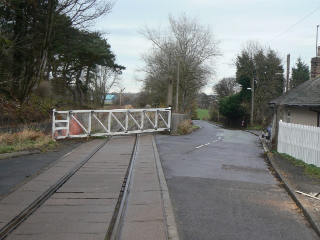
Image: © Alan Murray-Rust Taken: 10 Nov 2009
The station used to be just to the left of the crossing but has disappeared without trace.
Images are licensed for reuse under creativecommons.org/licenses/by-sa/2.0
Image Location
Latitude
54.676092
Longitude
-1.767975