Footpath from Old Tiffield Road to The Shires
Introduction
The photograph on this page of Footpath from Old Tiffield Road to The Shires by Oliver Hunter as part of the Geograph project.
The Geograph project started in 2005 with the aim of publishing, organising and preserving representative images for every square kilometre of Great Britain, Ireland and the Isle of Man.

There are currently over 7.5m images from over 14,400 individuals and you can help contribute to the project by visiting https://www.geograph.org.uk
Footpath from Old Tiffield Road to The Shires
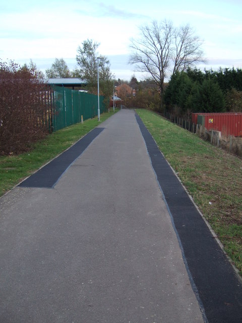
Image: © Oliver Hunter Taken: 7 Nov 2009
Looking down the footpath from the Old Tiffield Road (near Tesco & Homebase) to the South-West end of The Shires housing estate on the land of the Former Hesketh estate, Towcester. The council depot, where dustbin & recycling lorries are housed, is behind the green railings on the left, whilst the container on the right is on the edge of Stable Fabrication Ltd's property.
Images are licensed for reuse under creativecommons.org/licenses/by-sa/2.0
Image Location
Latitude
52.138755
Longitude
-0.990592