Where is the path?
Introduction
The photograph on this page of Where is the path? by Michael Dibb as part of the Geograph project.
The Geograph project started in 2005 with the aim of publishing, organising and preserving representative images for every square kilometre of Great Britain, Ireland and the Isle of Man.

There are currently over 7.5m images from over 14,400 individuals and you can help contribute to the project by visiting https://www.geograph.org.uk
Where is the path?
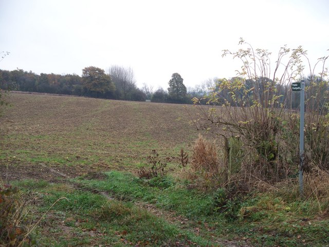
Image: © Michael Dibb Taken: 11 Nov 2009
From a bend in the minor road from Paxford to Aston Magna, a footpath crosses this field towards the gap in the hedge on the far side. The field has been ploughed and planted but the path has not been re-instated.
Images are licensed for reuse under creativecommons.org/licenses/by-sa/2.0
Image Location
Latitude
52.032784
Longitude
-1.719643