Zion Methodist
Introduction
The photograph on this page of Zion Methodist by Gerald England as part of the Geograph project.
The Geograph project started in 2005 with the aim of publishing, organising and preserving representative images for every square kilometre of Great Britain, Ireland and the Isle of Man.

There are currently over 7.5m images from over 14,400 individuals and you can help contribute to the project by visiting https://www.geograph.org.uk
Zion Methodist
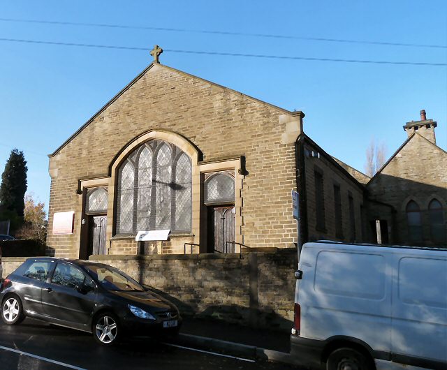
Image: © Gerald England Taken: 17 Nov 2009
The Chapel on Simmondley Lane was opened for Divine Worship on February 17th 1861. It is still in use today and the old School buildings are used as a Church Hall and Community Centre. Information from http://www.glossopheritage.co.uk/method.htm
Images are licensed for reuse under creativecommons.org/licenses/by-sa/2.0
Image Location
Latitude
53.444025
Longitude
-1.968194