2009 : Bath Old Road, Radstock
Introduction
The photograph on this page of 2009 : Bath Old Road, Radstock by Maurice Pullin as part of the Geograph project.
The Geograph project started in 2005 with the aim of publishing, organising and preserving representative images for every square kilometre of Great Britain, Ireland and the Isle of Man.

There are currently over 7.5m images from over 14,400 individuals and you can help contribute to the project by visiting https://www.geograph.org.uk
2009 : Bath Old Road, Radstock
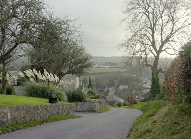
Image: © Maurice Pullin Taken: 16 Nov 2009
As the name suggests this was the main road between Radstock and Bath until the improvements to the A367. The hill on the other side of the valley rises to Haydon.
Images are licensed for reuse under creativecommons.org/licenses/by-sa/2.0
Image Location
Latitude
51.296692
Longitude
-2.447148