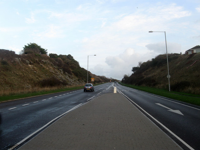
Buckle By-Pass
Introduction
The photograph on this page of Buckle By-Pass by Simon Carey as part of the Geograph project.
The Geograph project started in 2005 with the aim of publishing, organising and preserving representative images for every square kilometre of Great Britain, Ireland and the Isle of Man.
There are currently over 7.5m images from over 14,400 individuals and you can help contribute to the project by visiting https://www.geograph.org.uk

Image: © Simon Carey Taken: 15 Nov 2009
Carrying the A259 up Hawth Hill. The by-pass was built in 1963 to replace the old route that travelled around the southern end of Hawth Hill next to the sea before rejoining the current route via Claremont Road. A railway bridge with a width restriction along with another that had a weight restriction allied to frequent flooding of the coastal road were factors in building the by-pass.

