Racecourse Lane
Introduction
The photograph on this page of Racecourse Lane by Alan Murray-Rust as part of the Geograph project.
The Geograph project started in 2005 with the aim of publishing, organising and preserving representative images for every square kilometre of Great Britain, Ireland and the Isle of Man.

There are currently over 7.5m images from over 14,400 individuals and you can help contribute to the project by visiting https://www.geograph.org.uk
Racecourse Lane
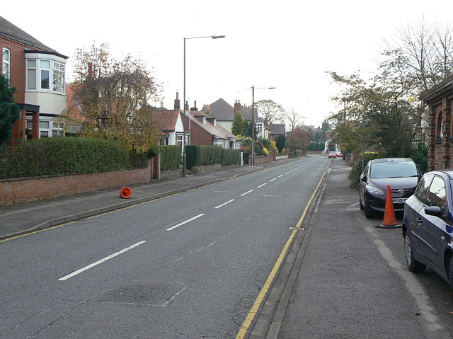
Image: © Alan Murray-Rust Taken: 6 Nov 2009
Looking east towards Thirsk Road. This is the only indication that there once a racecourse here. It closed towards the end of the 19th century and is now largely built over.
Images are licensed for reuse under creativecommons.org/licenses/by-sa/2.0
Image Location
Latitude
54.333224
Longitude
-1.435735