Mansfield Road
Introduction
The photograph on this page of Mansfield Road by Trevor Rickard as part of the Geograph project.
The Geograph project started in 2005 with the aim of publishing, organising and preserving representative images for every square kilometre of Great Britain, Ireland and the Isle of Man.

There are currently over 7.5m images from over 14,400 individuals and you can help contribute to the project by visiting https://www.geograph.org.uk
Mansfield Road
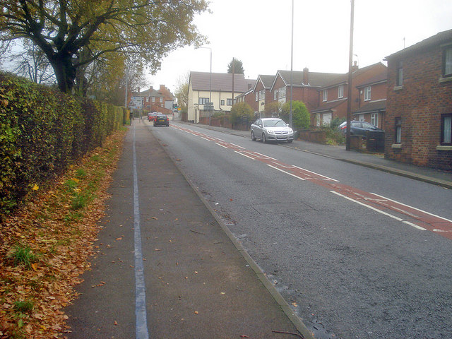
Image: © Trevor Rickard Taken: 14 Nov 2009
Looking south up the hill towards the centre of Eastwood. The blue line is a heritage trail which visitors can follow to find the places around Eastwood relating to D H Lawrence.
Images are licensed for reuse under creativecommons.org/licenses/by-sa/2.0
Image Location


Leaflet Map data © OpenStreetMap
Latitude
53.020263
Longitude
-1.307954