Brown Square, Belfast
Introduction
The photograph on this page of Brown Square, Belfast by Albert Bridge as part of the Geograph project.
The Geograph project started in 2005 with the aim of publishing, organising and preserving representative images for every square kilometre of Great Britain, Ireland and the Isle of Man.

There are currently over 7.5m images from over 14,400 individuals and you can help contribute to the project by visiting https://www.geograph.org.uk
Brown Square, Belfast
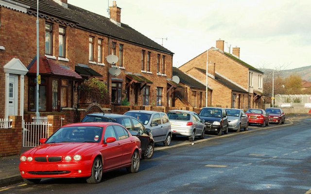
Image: © Albert Bridge Taken: 15 Nov 2009
Brown Square has existed for almost 200 years. The present (redeveloped) street is almost on the same line. The view is from the Brown Street end towards Peter’s Hill.
Images are licensed for reuse under creativecommons.org/licenses/by-sa/2.0
Image Location
Latitude
54.60284
Longitude
-5.937531