Huish Champflower: footpath at Huish Cleeve
Introduction
The photograph on this page of Huish Champflower: footpath at Huish Cleeve by Martin Bodman as part of the Geograph project.
The Geograph project started in 2005 with the aim of publishing, organising and preserving representative images for every square kilometre of Great Britain, Ireland and the Isle of Man.

There are currently over 7.5m images from over 14,400 individuals and you can help contribute to the project by visiting https://www.geograph.org.uk
Huish Champflower: footpath at Huish Cleeve
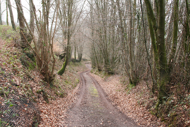
Image: © Martin Bodman Taken: 24 Apr 2006
Looking west-north-west. The path crosses the valley to link up with the Wiveliscombe – Sperry Cross road
Images are licensed for reuse under creativecommons.org/licenses/by-sa/2.0
Image Location
Latitude
51.048284
Longitude
-3.367903