Footpath towards Eastry
Introduction
The photograph on this page of Footpath towards Eastry by Nick Smith as part of the Geograph project.
The Geograph project started in 2005 with the aim of publishing, organising and preserving representative images for every square kilometre of Great Britain, Ireland and the Isle of Man.

There are currently over 7.5m images from over 14,400 individuals and you can help contribute to the project by visiting https://www.geograph.org.uk
Footpath towards Eastry
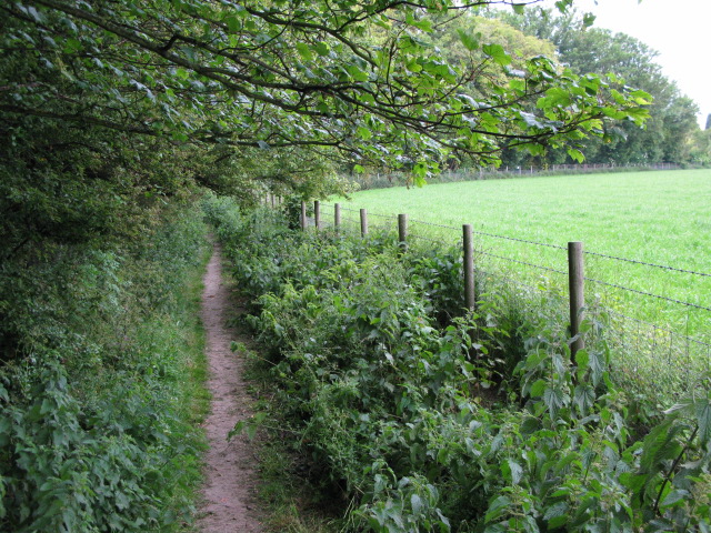
Image: © Nick Smith Taken: 5 Jun 2009
The footpath connects the A256 with Sandwich Road Eastry, or you can turn left parallel to Sandwich Road and enter Eastry near the church.
Images are licensed for reuse under creativecommons.org/licenses/by-sa/2.0
Image Location
Latitude
51.250046
Longitude
1.312346