Junction of Engine Lane and Moorgreen
Introduction
The photograph on this page of Junction of Engine Lane and Moorgreen by Trevor Rickard as part of the Geograph project.
The Geograph project started in 2005 with the aim of publishing, organising and preserving representative images for every square kilometre of Great Britain, Ireland and the Isle of Man.

There are currently over 7.5m images from over 14,400 individuals and you can help contribute to the project by visiting https://www.geograph.org.uk
Junction of Engine Lane and Moorgreen
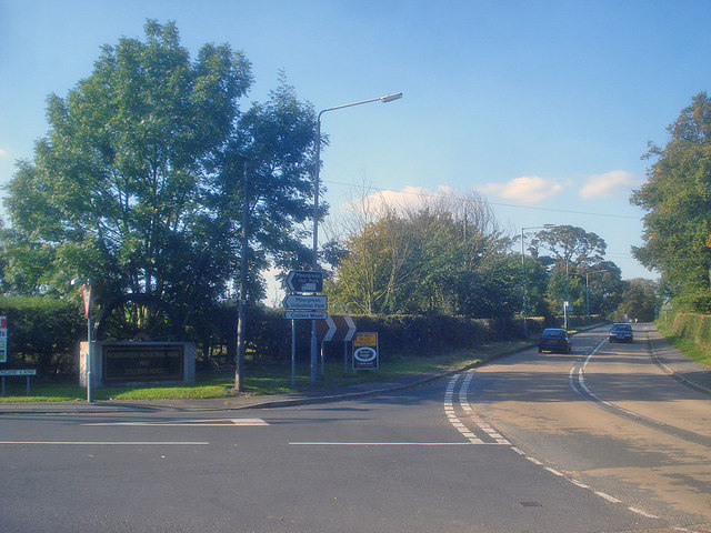
Image: © Trevor Rickard Taken: 10 Sep 2009
Looking north along the B600 with Engine Lane on the left. In the shadow of the tree is an old winding wheel from Moorgreen Colliery indicating the entrance to 'Moorgreen Industrial Park and Colliers Wood'.
Images are licensed for reuse under creativecommons.org/licenses/by-sa/2.0
Image Location
Latitude
53.029285
Longitude
-1.283207