Cwrdy Road, Griffithstown ,Pontypool
Introduction
The photograph on this page of Cwrdy Road, Griffithstown ,Pontypool by Jaggery as part of the Geograph project.
The Geograph project started in 2005 with the aim of publishing, organising and preserving representative images for every square kilometre of Great Britain, Ireland and the Isle of Man.

There are currently over 7.5m images from over 14,400 individuals and you can help contribute to the project by visiting https://www.geograph.org.uk
Cwrdy Road, Griffithstown ,Pontypool
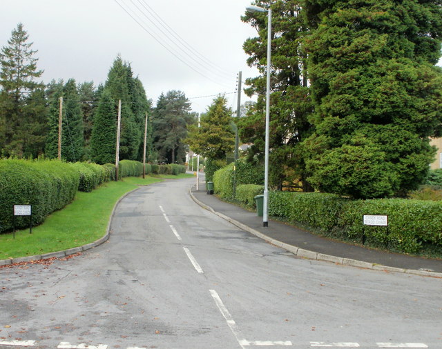
Image: © Jaggery Taken: 21 Oct 2009
Cwrdy Road heads to the west away from The Avenue. Despite appearances, this is a suburban road. In some parts of its length, houses are either set back from the roadside, or sparsely spaced. About 2 kilometres to the west, on the edge of Cwrdy Wood, it becomes Cwrdy Lane.
Images are licensed for reuse under creativecommons.org/licenses/by-sa/2.0
Image Location
Latitude
51.681655
Longitude
-3.028336