Bridleway, Shortheath Common
Introduction
The photograph on this page of Bridleway, Shortheath Common by Maigheach-gheal as part of the Geograph project.
The Geograph project started in 2005 with the aim of publishing, organising and preserving representative images for every square kilometre of Great Britain, Ireland and the Isle of Man.

There are currently over 7.5m images from over 14,400 individuals and you can help contribute to the project by visiting https://www.geograph.org.uk
Bridleway, Shortheath Common
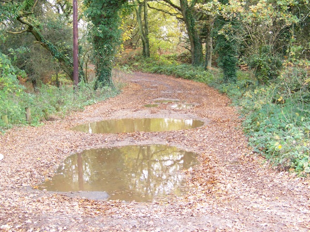
Image: © Maigheach-gheal Taken: 1 Nov 2009
The bridleway takes riders and walkers to Chestnut Farm and Gibbs Lane.
Images are licensed for reuse under creativecommons.org/licenses/by-sa/2.0
Image Location
Latitude
51.128521
Longitude
-0.888151