Fore Street Aveton Gifford
Introduction
The photograph on this page of Fore Street Aveton Gifford by Tony Atkin as part of the Geograph project.
The Geograph project started in 2005 with the aim of publishing, organising and preserving representative images for every square kilometre of Great Britain, Ireland and the Isle of Man.

There are currently over 7.5m images from over 14,400 individuals and you can help contribute to the project by visiting https://www.geograph.org.uk
Fore Street Aveton Gifford
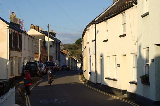
Image: © Tony Atkin Taken: 8 Nov 2009
It is difficult to imagine this street choked with cars and lorries but before the village bypass was built that was the case. When the bypass was opened in 1990 the villagers held a street party. Aveton Gifford remains the only village on the A379 which has a bypass.
Images are licensed for reuse under creativecommons.org/licenses/by-sa/2.0
Image Location
Latitude
50.312924
Longitude
-3.836446