Verwood: Burrows Lane
Introduction
The photograph on this page of Verwood: Burrows Lane by Chris Downer as part of the Geograph project.
The Geograph project started in 2005 with the aim of publishing, organising and preserving representative images for every square kilometre of Great Britain, Ireland and the Isle of Man.

There are currently over 7.5m images from over 14,400 individuals and you can help contribute to the project by visiting https://www.geograph.org.uk
Verwood: Burrows Lane
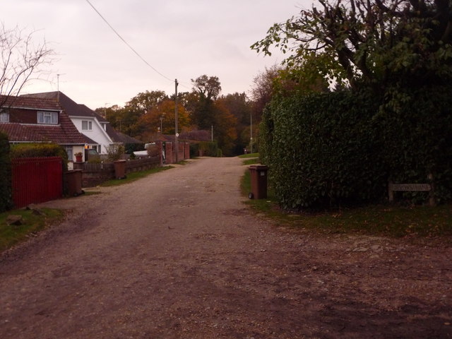
Image: © Chris Downer Taken: 8 Nov 2009
Originally a farm track leading to Burrows Farm, half a mile or so north, and still not tarmacked. Neither is Coopers Lane, from which we are looking, tarmacked. 1950s or -60s bungalows line this lower section of Coopers Lane, and they also encroach a little way up Burrows Lane, but it is only a very short time walking up either that you are in proper countryside. An old-fashioned East Dorset District Council road sign can be seen on the right (although it was called Wimborne District until the early 1980s).
Images are licensed for reuse under creativecommons.org/licenses/by-sa/2.0
Image Location
Latitude
50.886541
Longitude
-1.875273